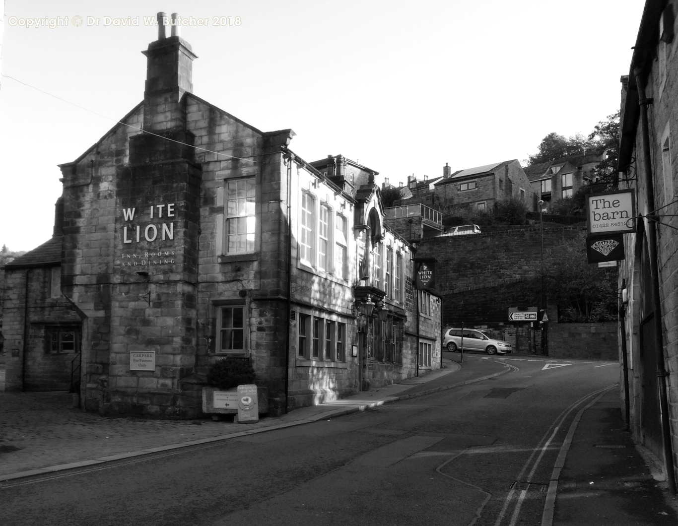
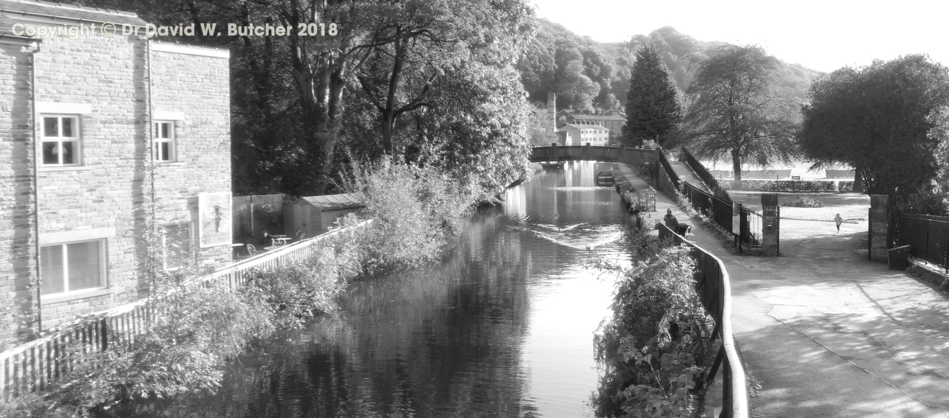
The night before we started we stayed in the White Lion Hotel in Hebden Bridge. We only booked the accommodation for the trip about 3 weeks beforehand so not a lot of choice and the room here was very expensive, it wasn't worth the money to us. They provided a coffee making machine but no way to make tea or any other hot drink. Very soft mattress too which didn't help my back. The Timothy Taylor Boltmaker was okay but the Fox and Goose is still the best place for beer in Hebden Bridge. Very nice porter on hand pump when we were there.
We walked for 6 days and luckily it was dry for most of the time, just a few short showers, nothing major. A pleasant surprise for the end of October! The total distance was about 67 miles.
Our luggage was moved each day by Brigantes, we have used them a few times now and they are very reliable for moving bags in the north of England. This meant that we just carried light day sacs.
Day 1: Sunday 20th October 2019. Hebden Bridge to The Moorcock Inn, Littleborough. 10 miles
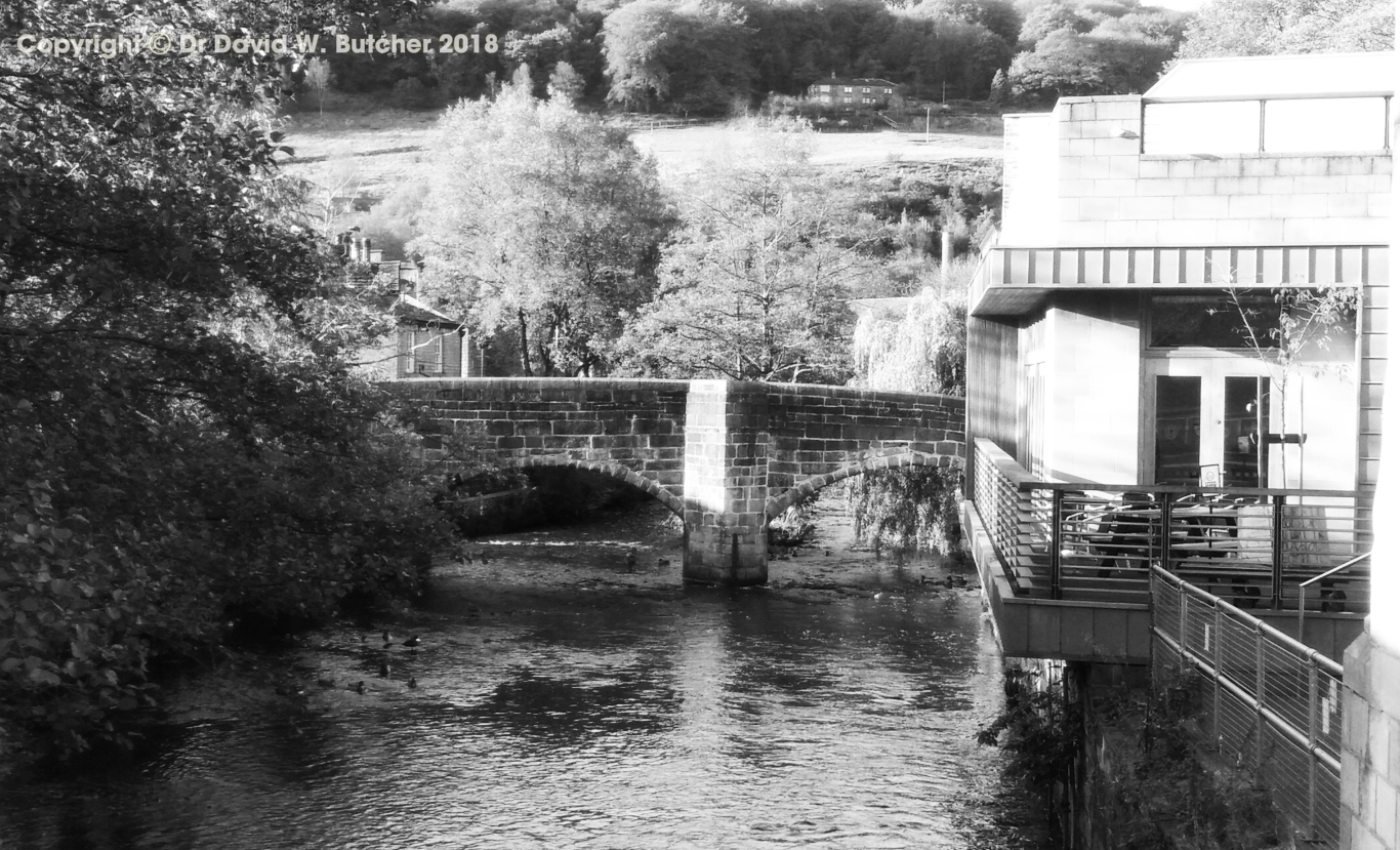
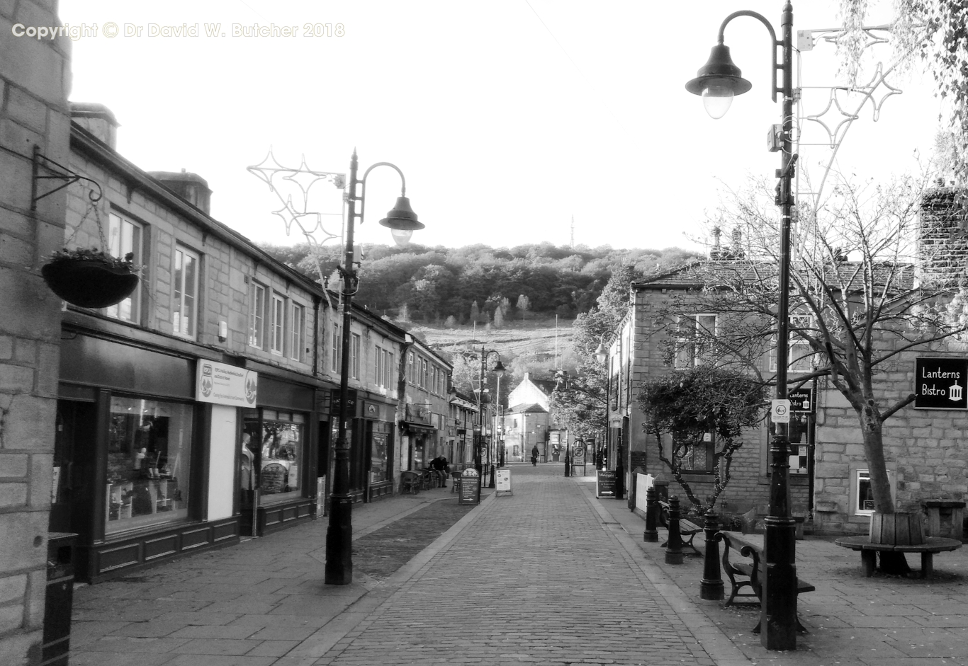
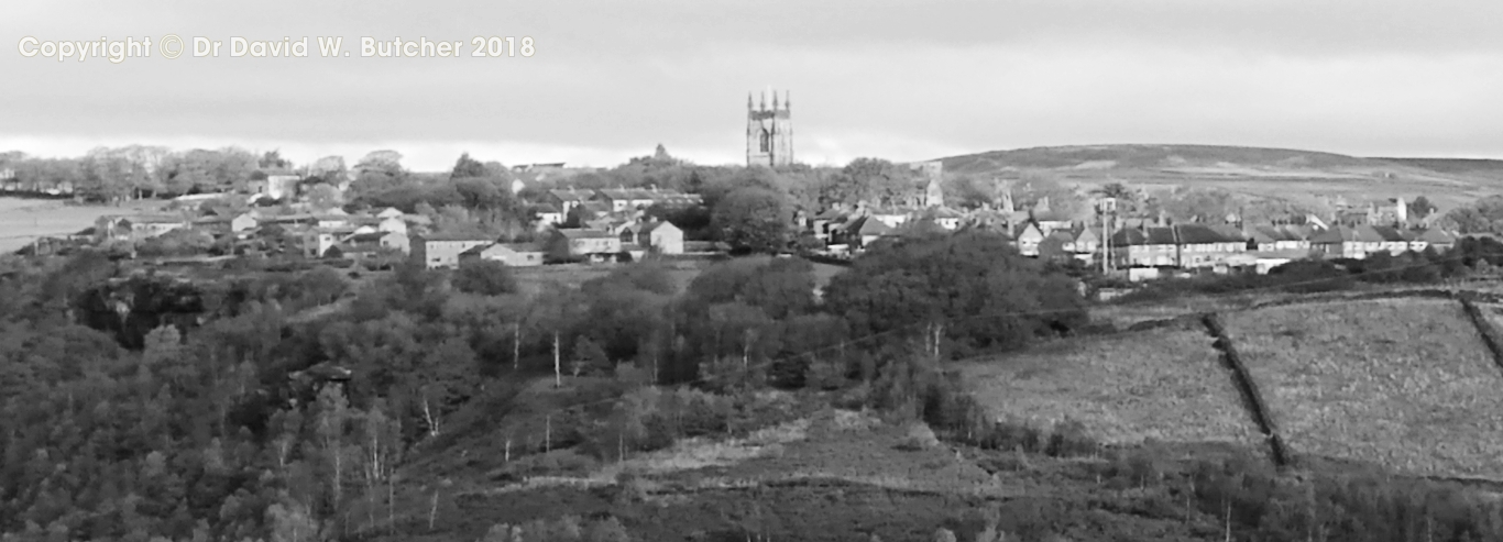
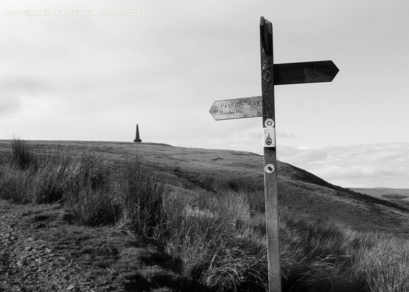
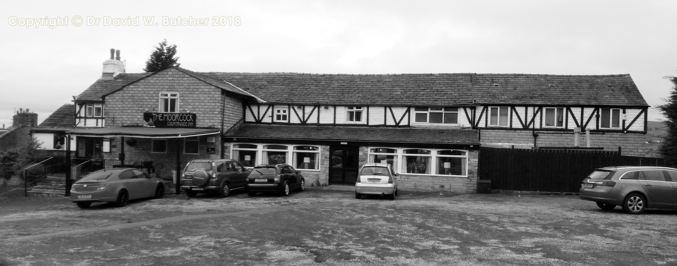
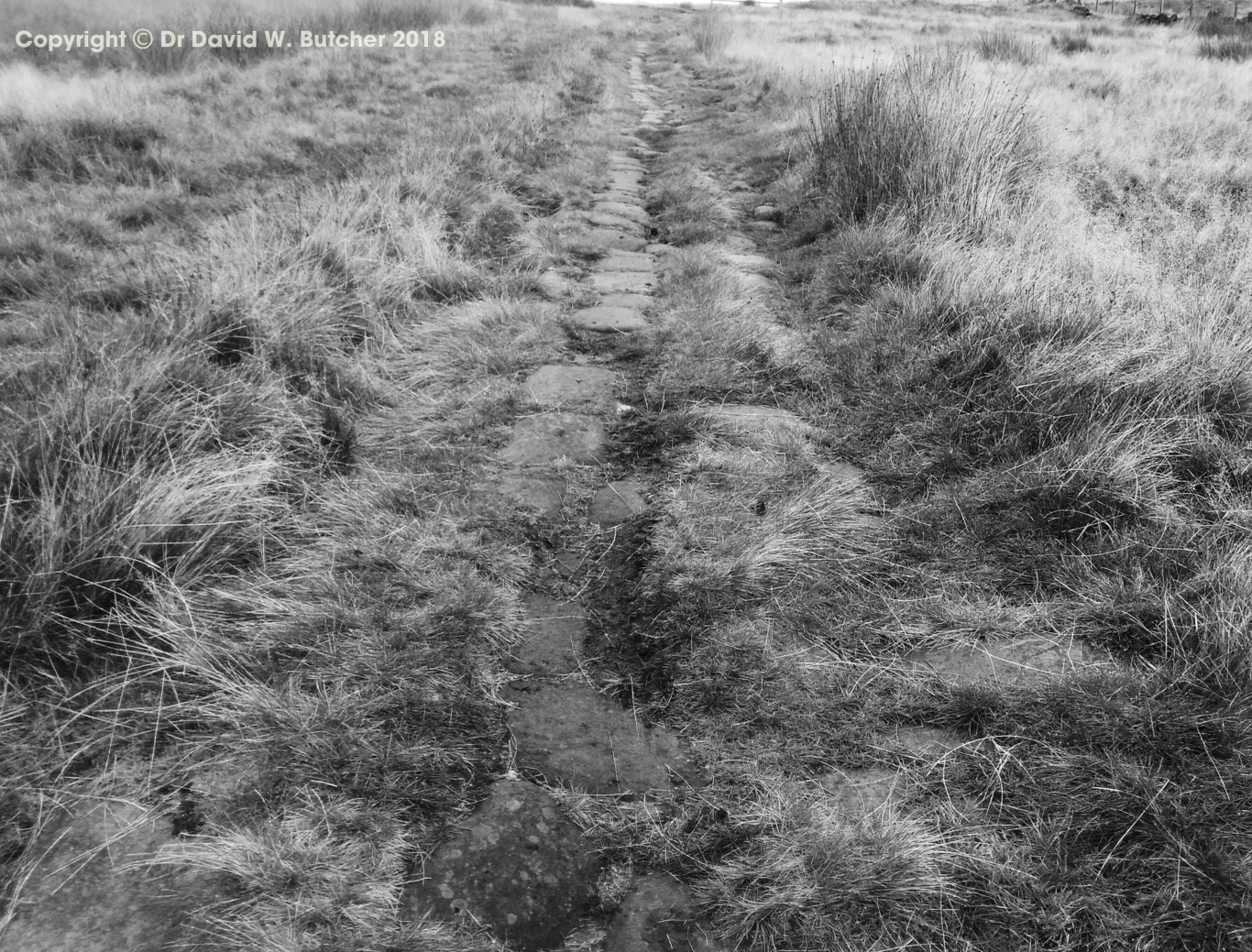
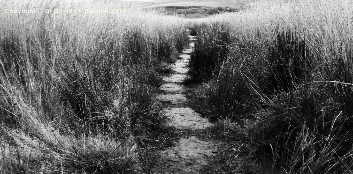
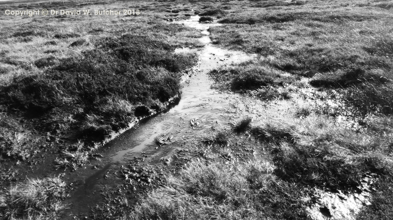
After walking through the centre of Hebden Bridge we made our way up the hillside and some woods to join the Pennine Way after a couple of miles and followed this for several miles. There was a good view to Stoodley Pike on the hill above, a bit under a mile away. I've been up to Stoodley Pike several times and always had poor weather, today was no exception - a very dull day, but dry. The route that followed over the boggy moors was quite easy, the path was well slabbed to avoid the bog. I remember when I did the Pennine Way in the 1970's it was a quagmire at every stretch of peat bog (we had heavy rain every day after the first 2 days which didn't help!). No such problem now, most of the moors that we crossed had well paved paths. We had to put waterproofs on for a few minutes while crossing the moors but took them off as we walked beside the reservoirs near the main road. We had a break at the White House pub above Littleborough, the Timothy Taylor Landlord was good. From here we headed downhill a mile or so to the Moorcock Inn on the edge of Littleborough, our hostelry for the night. Our room was a reasonable size but was more reminiscent of an alpine mountain hut than a b&b or hotel. Had to be careful of the bare floorboards, they weren't smoothed off so splinters were a hazard. The food was okay but my pint of Theakstons Black Sheep Bitter tasted of vinegar so I sent it back and switched to wine. They obviously don't look after their beer.
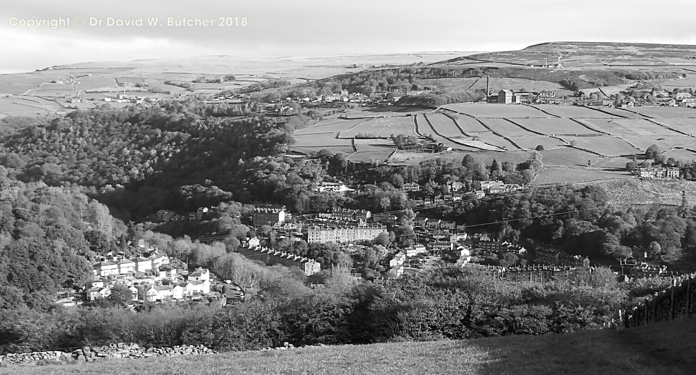
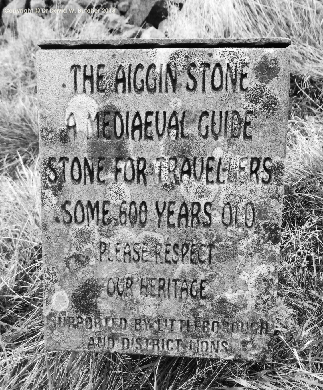
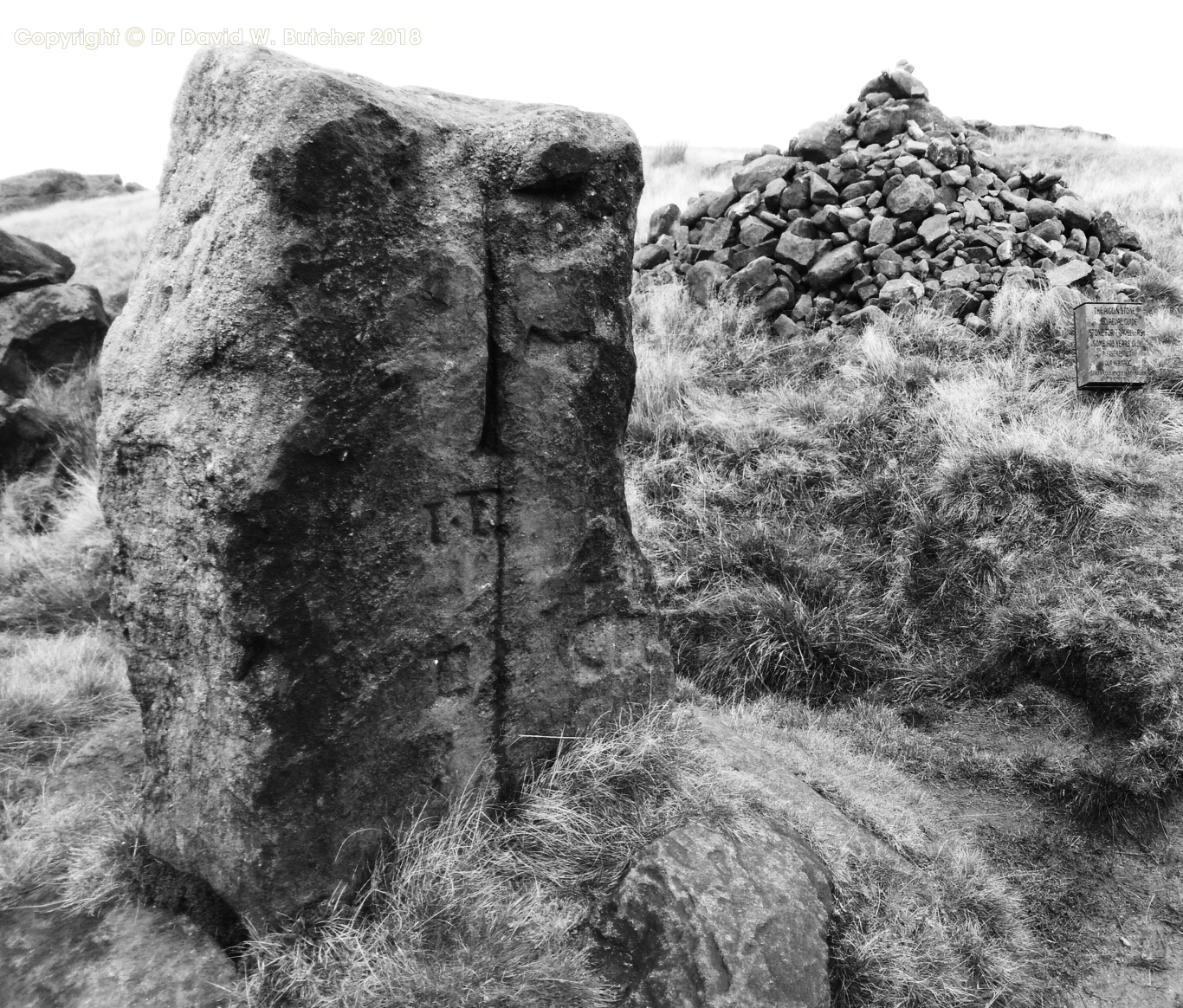
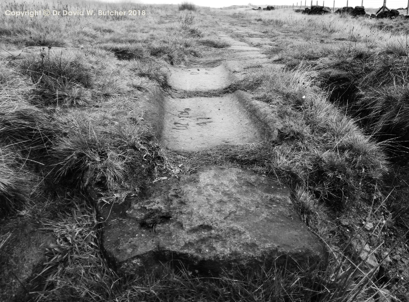
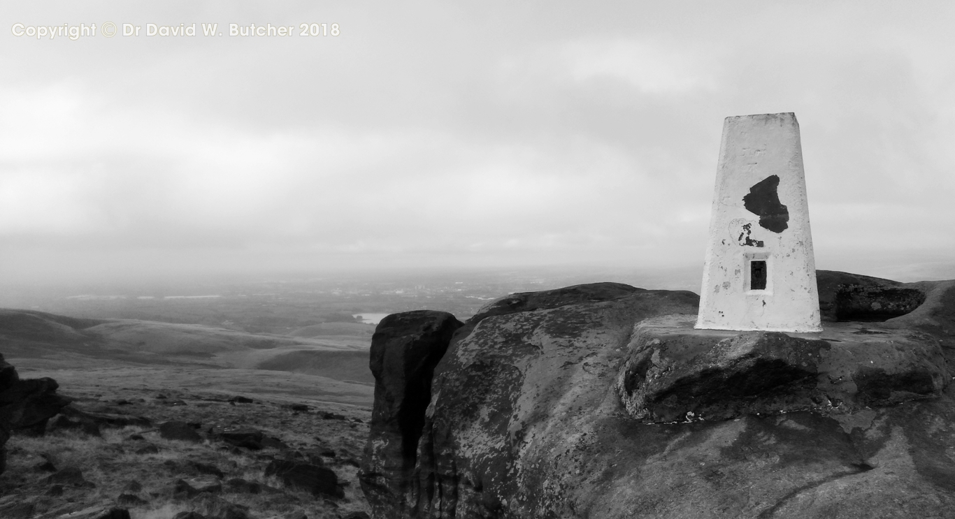
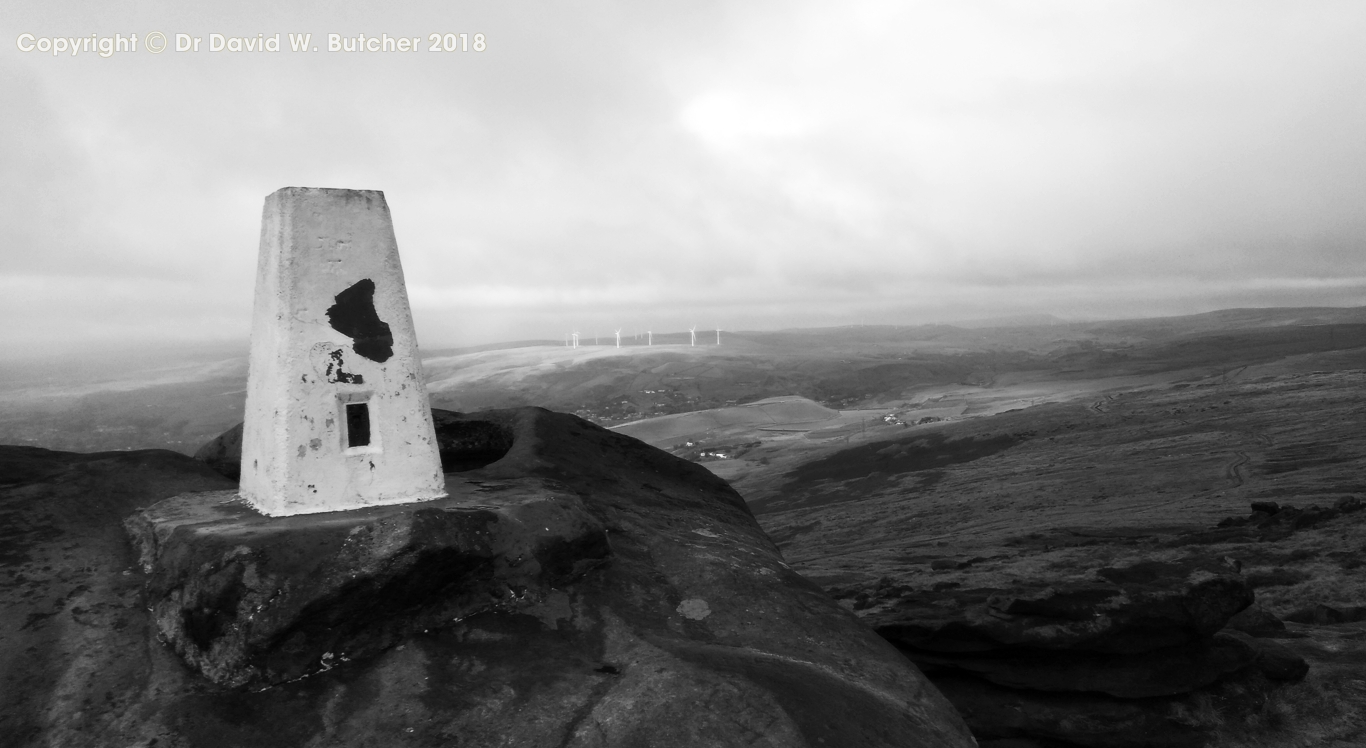
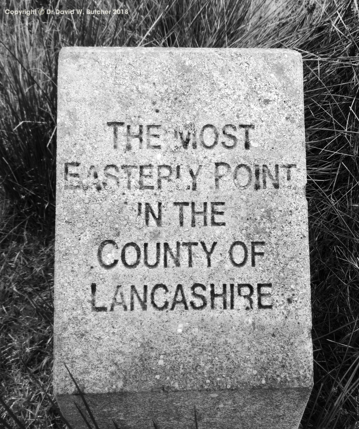
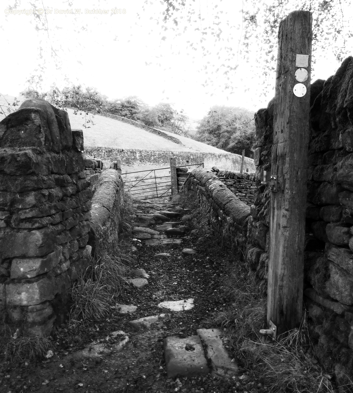
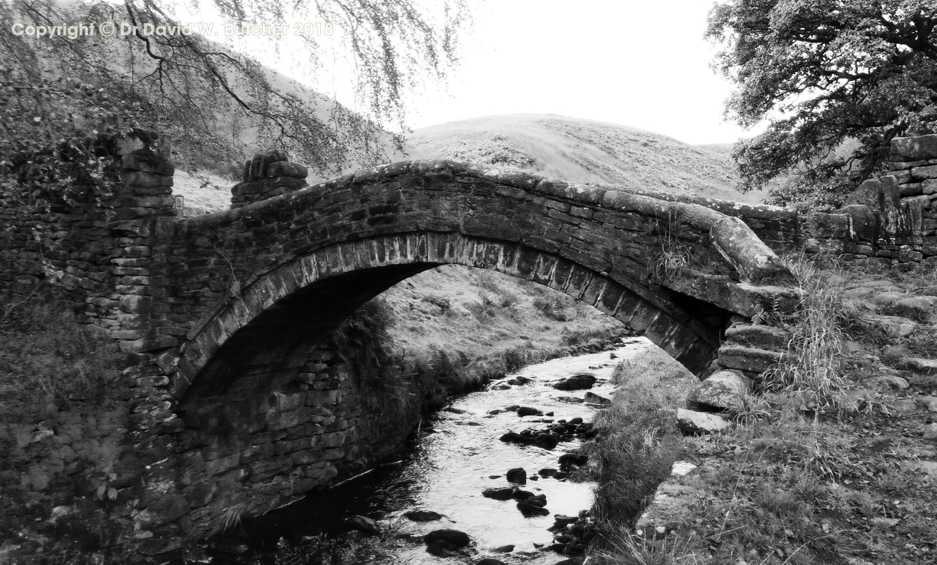
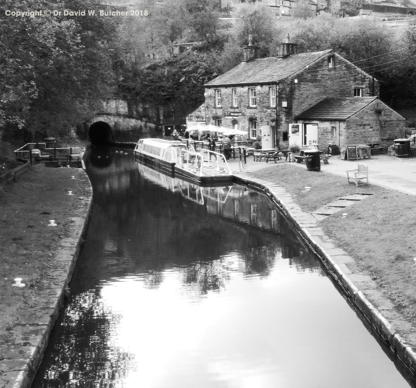
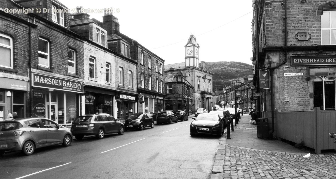
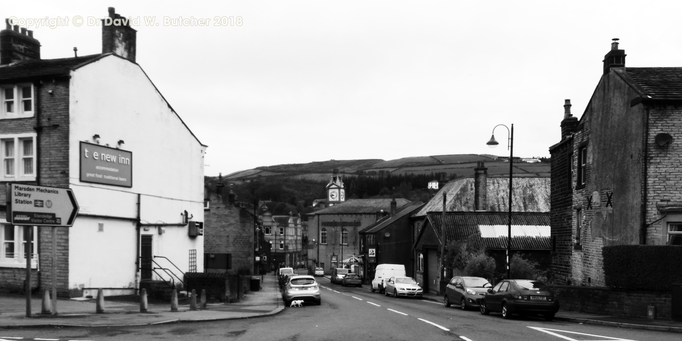
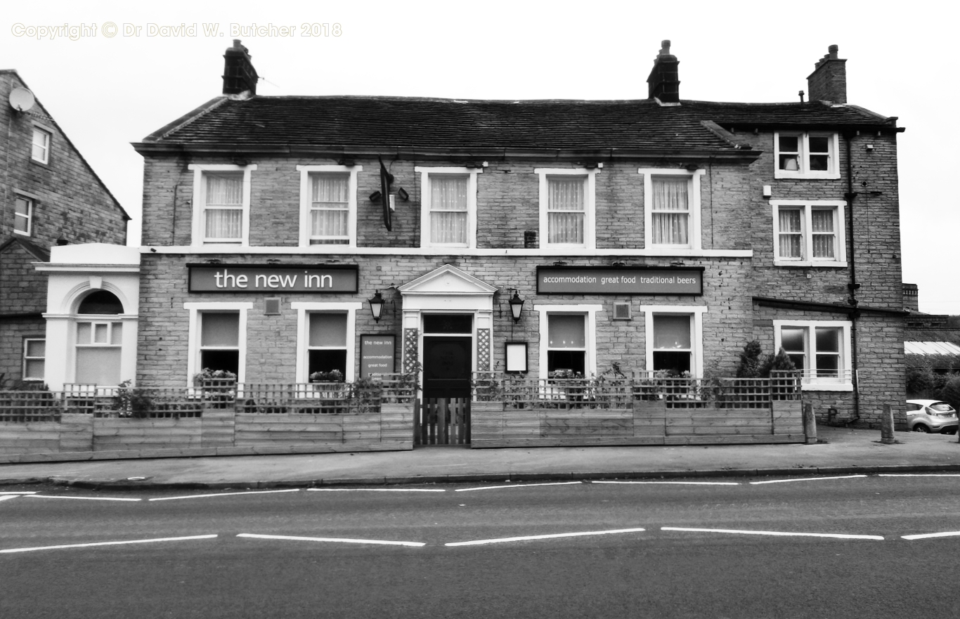
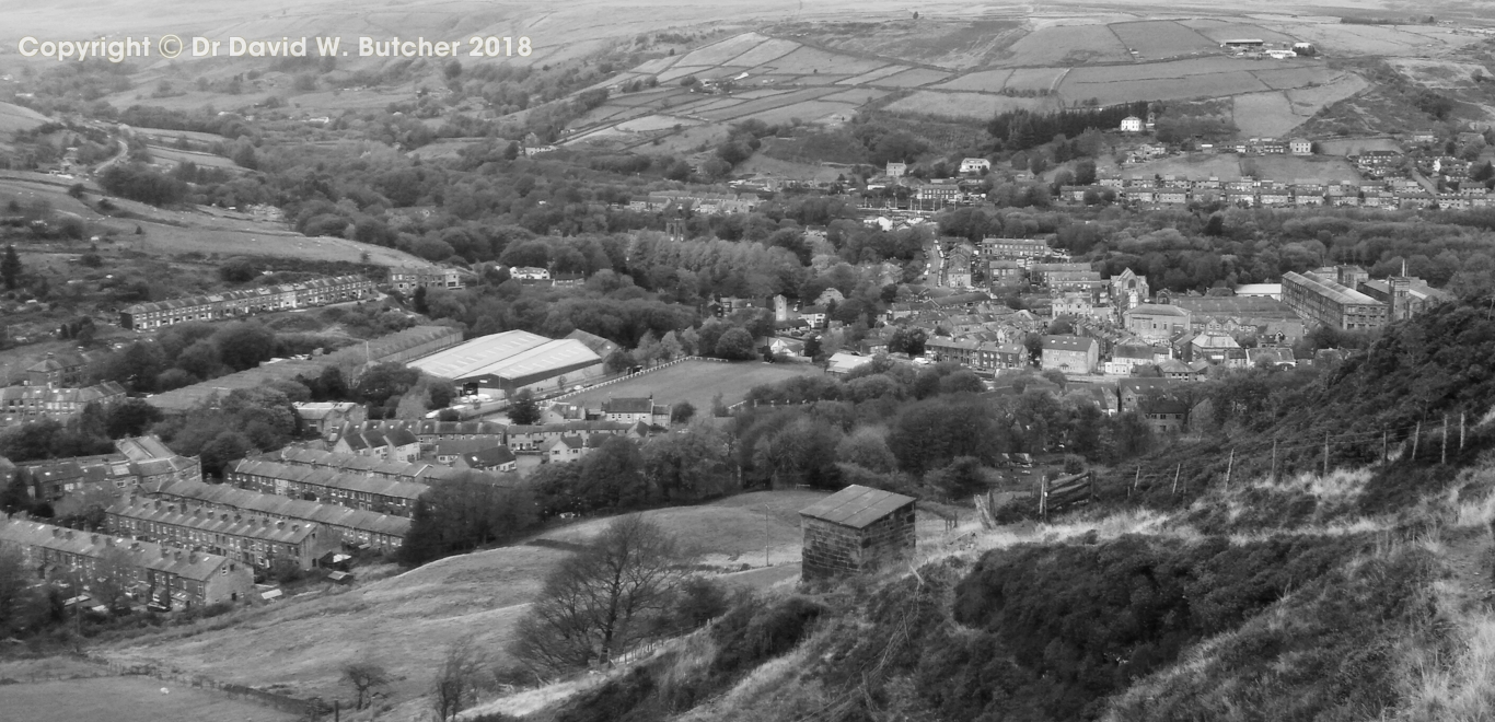
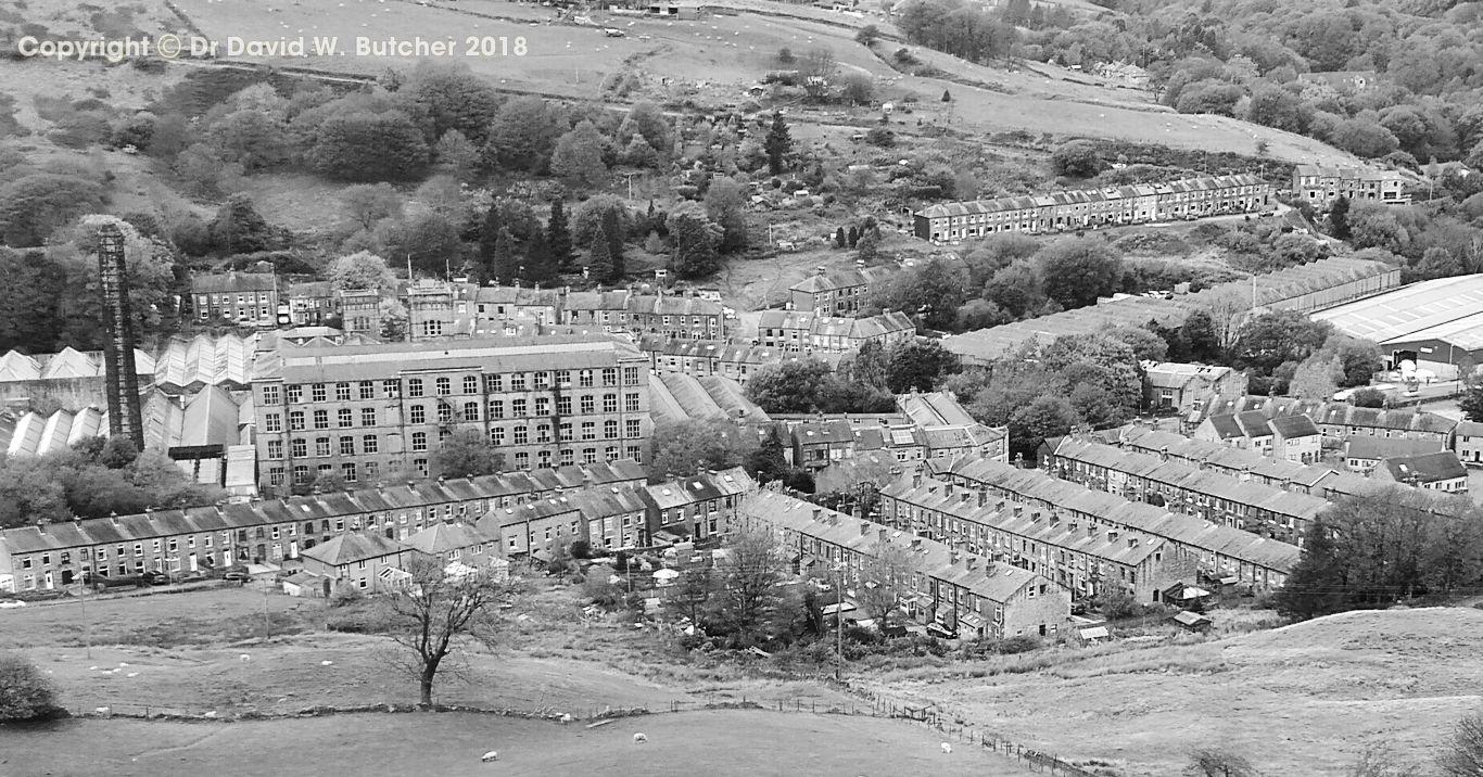
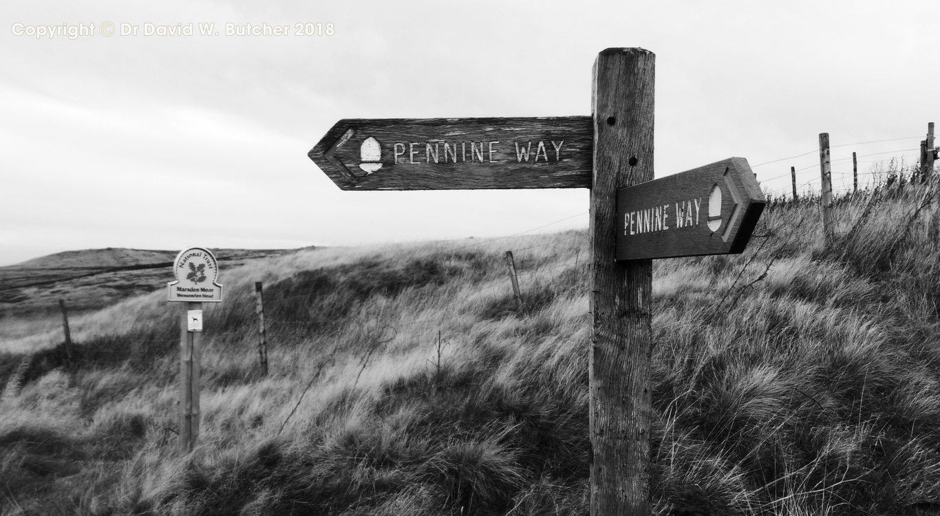
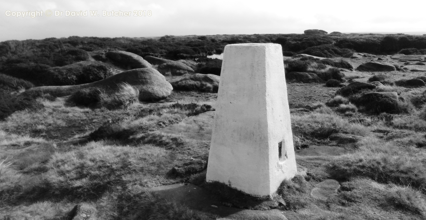
Another dull day but dry. We crossed the road from the Moorcock and were on our first footpath. We made our way to Blackstone Edge and followed the old Roman/Medieval road to join the Pennine Way coming from the White House. Then along Blackstone Edge to the trig point and down the gradual slope to cross the M62 on the footbridge. The traffic noise could be heard from quite a distance on both sides of the road. Then on past the phone masts and a burned out Land Rover on Rook Stones Hill, over White Hill and down to the A640 at Haigh Gutter. Here we left the Pennine Way and took the Pack Horse Road to the small town of Marsden. The road was narrow, well flagged and flanked by tall brown grasses. This led down to the Close Gate packhorse bridge and along to Marsden. Our first stop was the Riverhead Brewery Tap, next to the river. An interesting pint of chilli flavoured porter was followed by something a little less fiery. Then we headed to the New Inn at the top of the town, where we were staying the night. We were well looked after here with good food and beer.
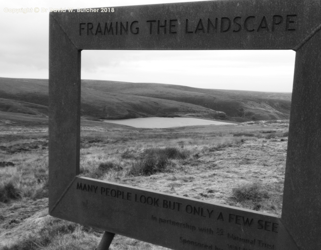
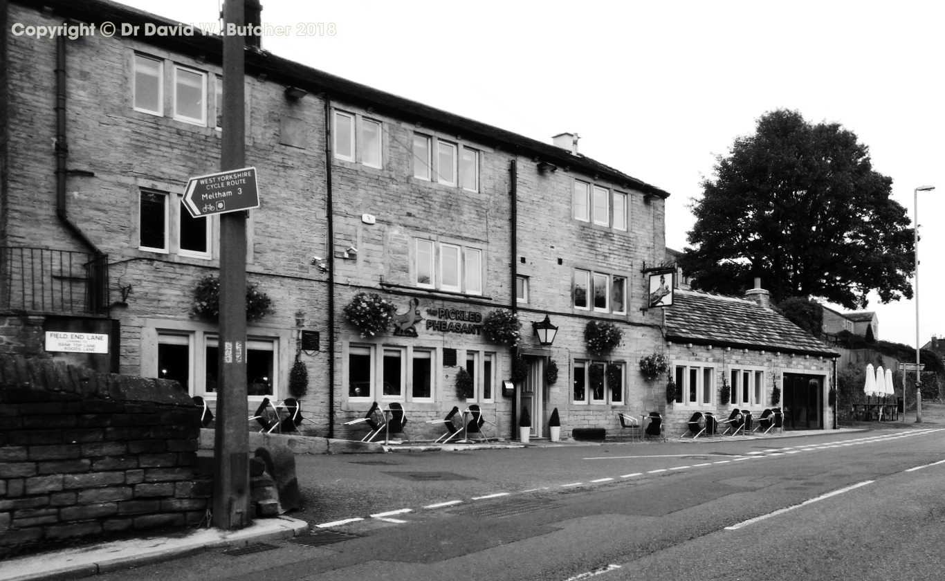
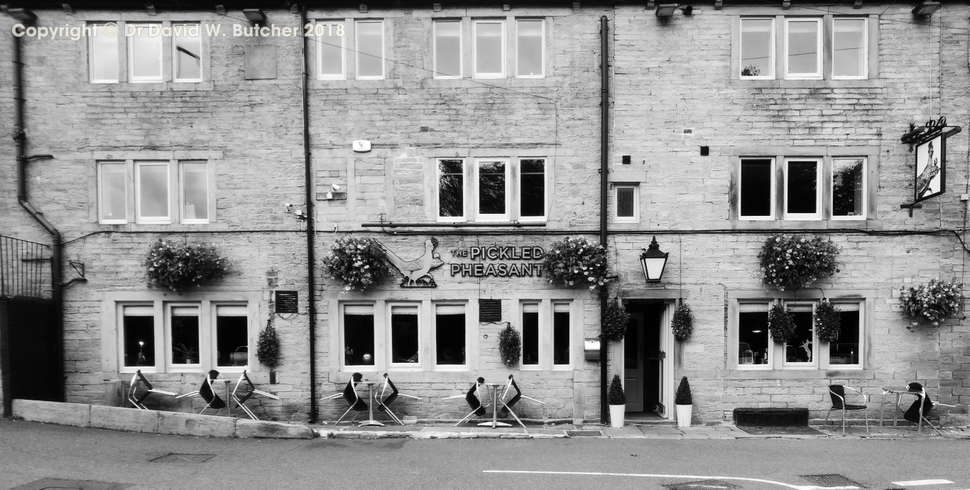
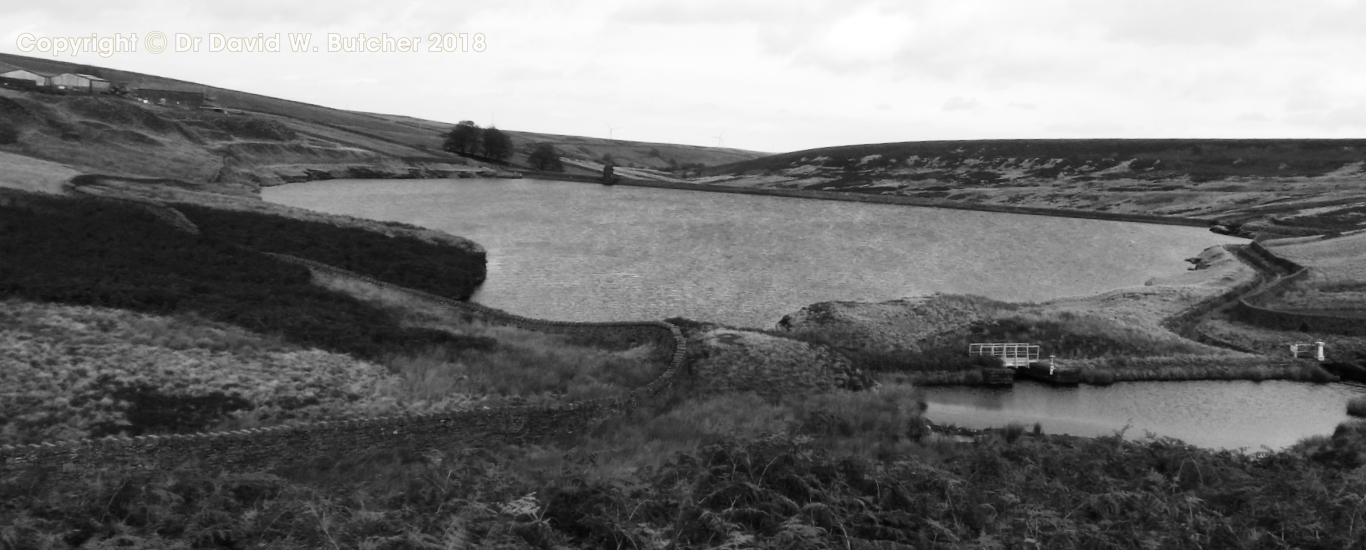
After a good breakfast we headed uphill to rejoin the Pennine Way above the Reservoirs. This is the Wessenden Alternative Route of the Pennine Way, created to avoid some of the worst peat bogs on the entire route.We left the Pennine Way once again at the A635 and headed to Holmbridge and the Bridge Inn. It was several months since our last visit and it was a surprise to see it had a new name, the Pickled Pheasant. The brewery which used to be next door had been evicted and moved a few miles away. The wall separating the two properties had gone and the space was now occupied by the bar and lots of restaurant seating. It was clearly more of a restaurant than a pub. We didn't stay long. From here we crossed the Holme Valley and made our way uphill and across to Winscar and Windleden Reservoirs at Dunsford Bridge. There were good tracks all the way from here to the Dog and Partridge Inn at the Sheffield end of the Woodhead Pass. We stayed the night here, very comfy rooms, good food and beer.
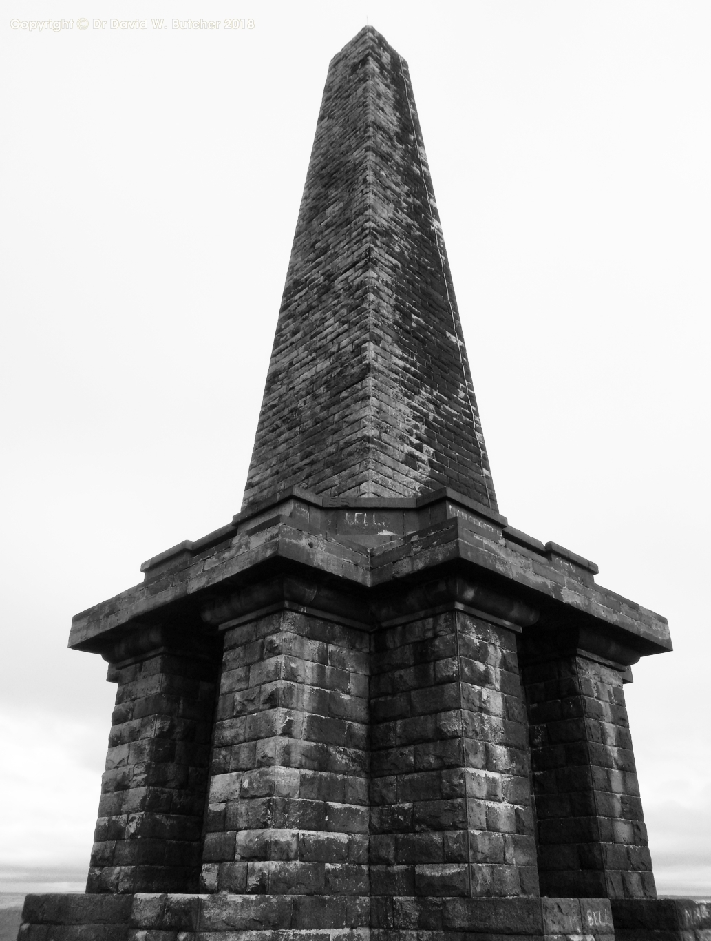
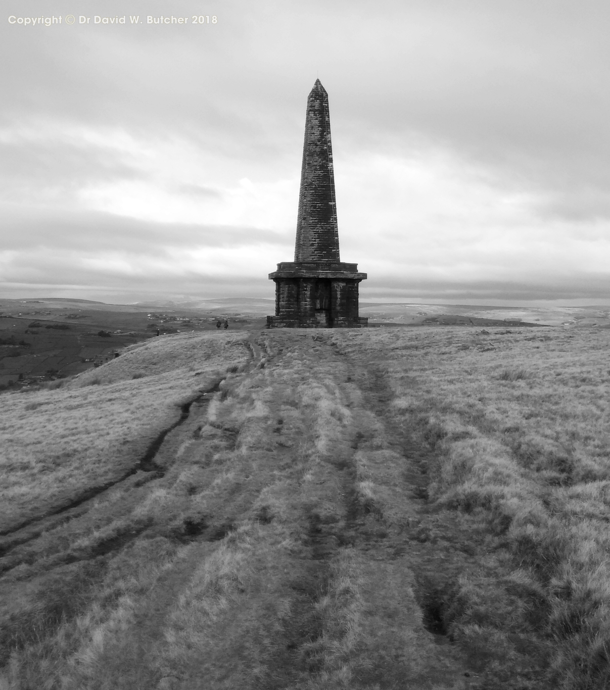
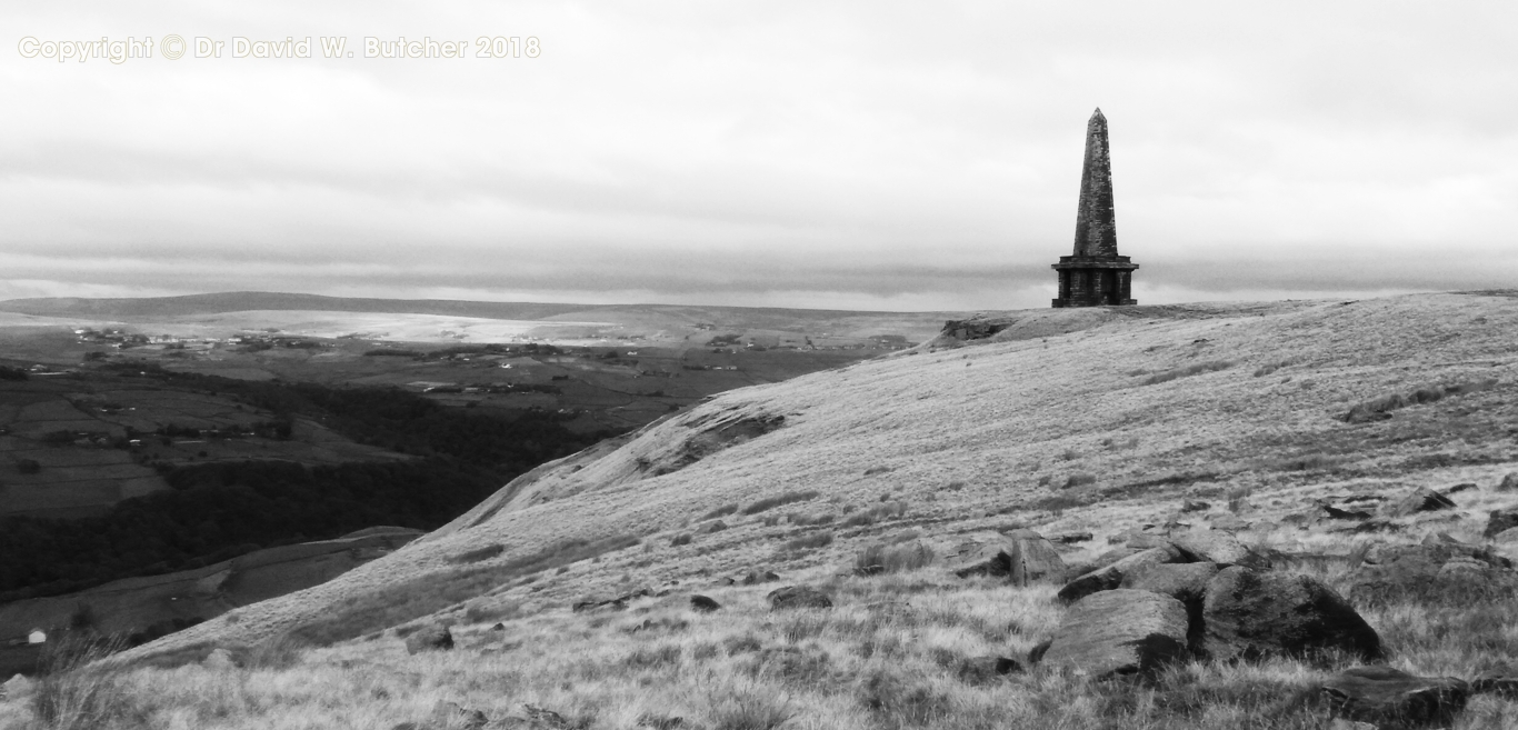
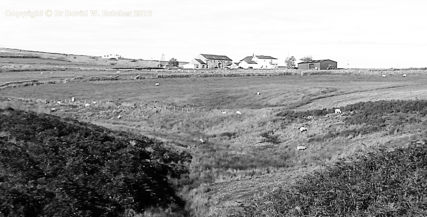
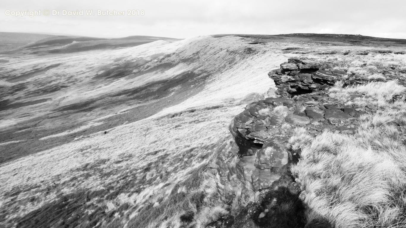
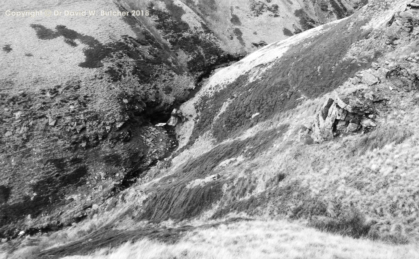
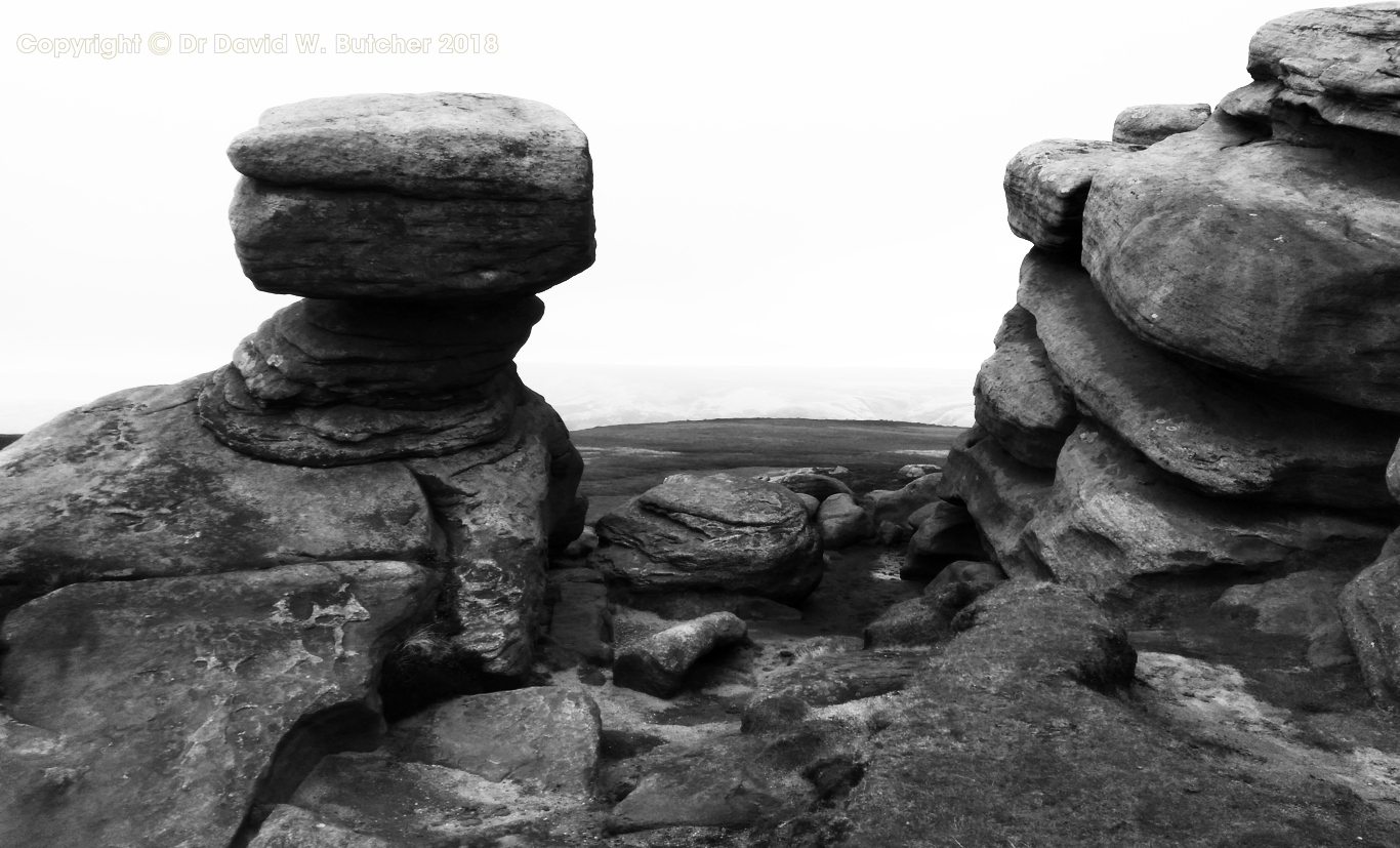
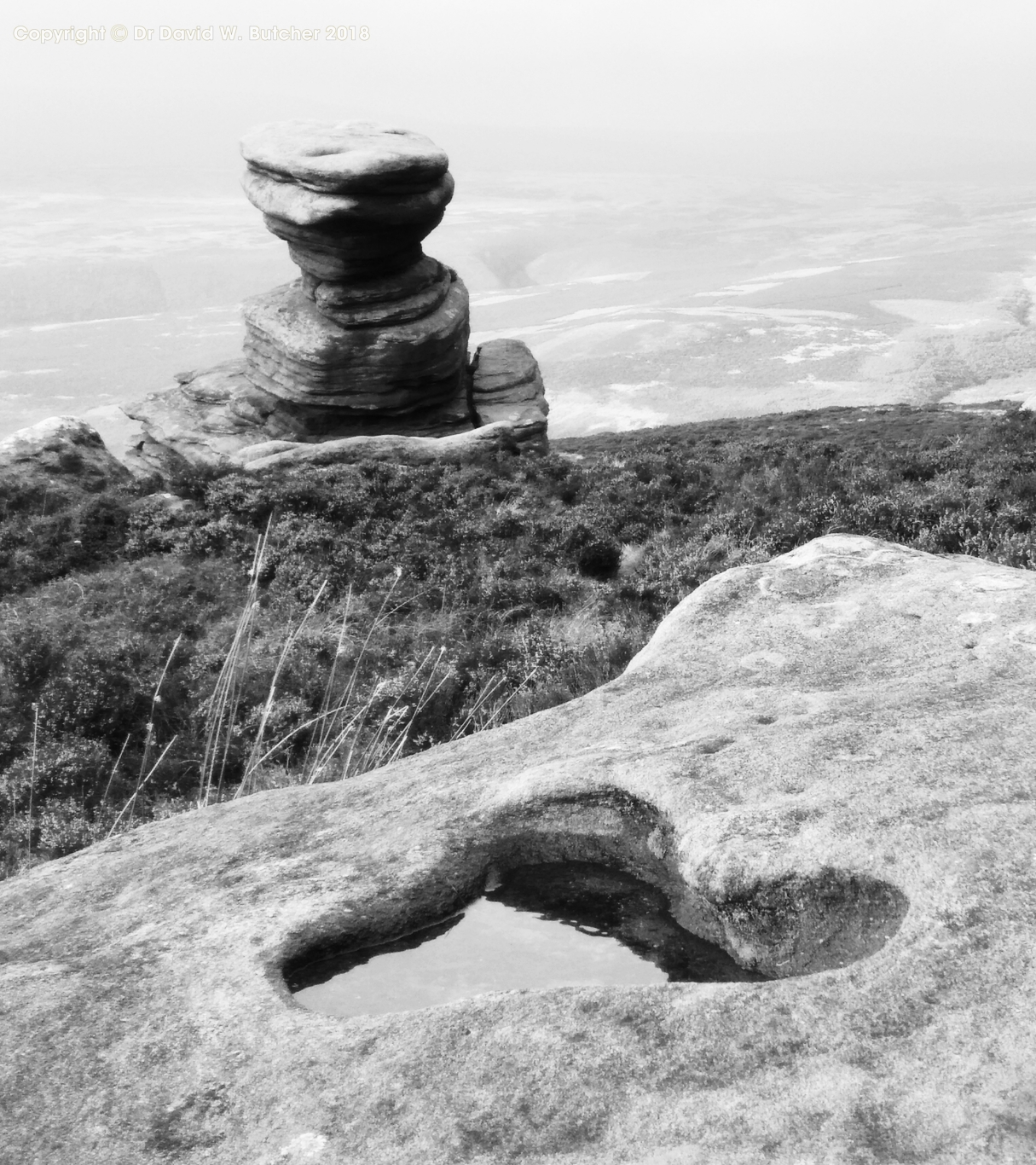
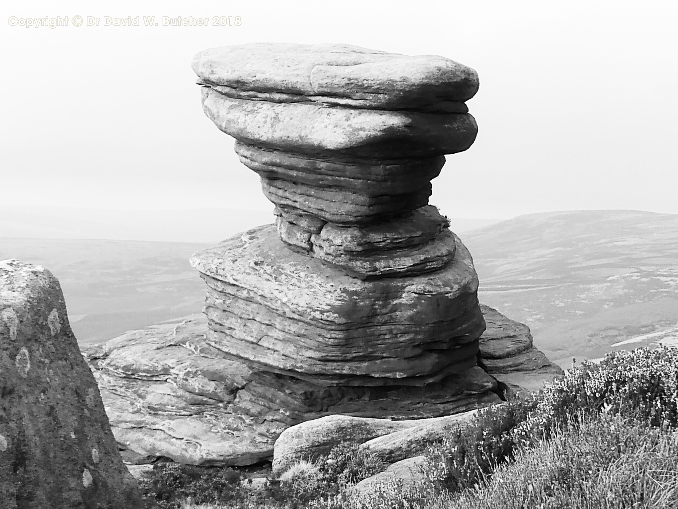
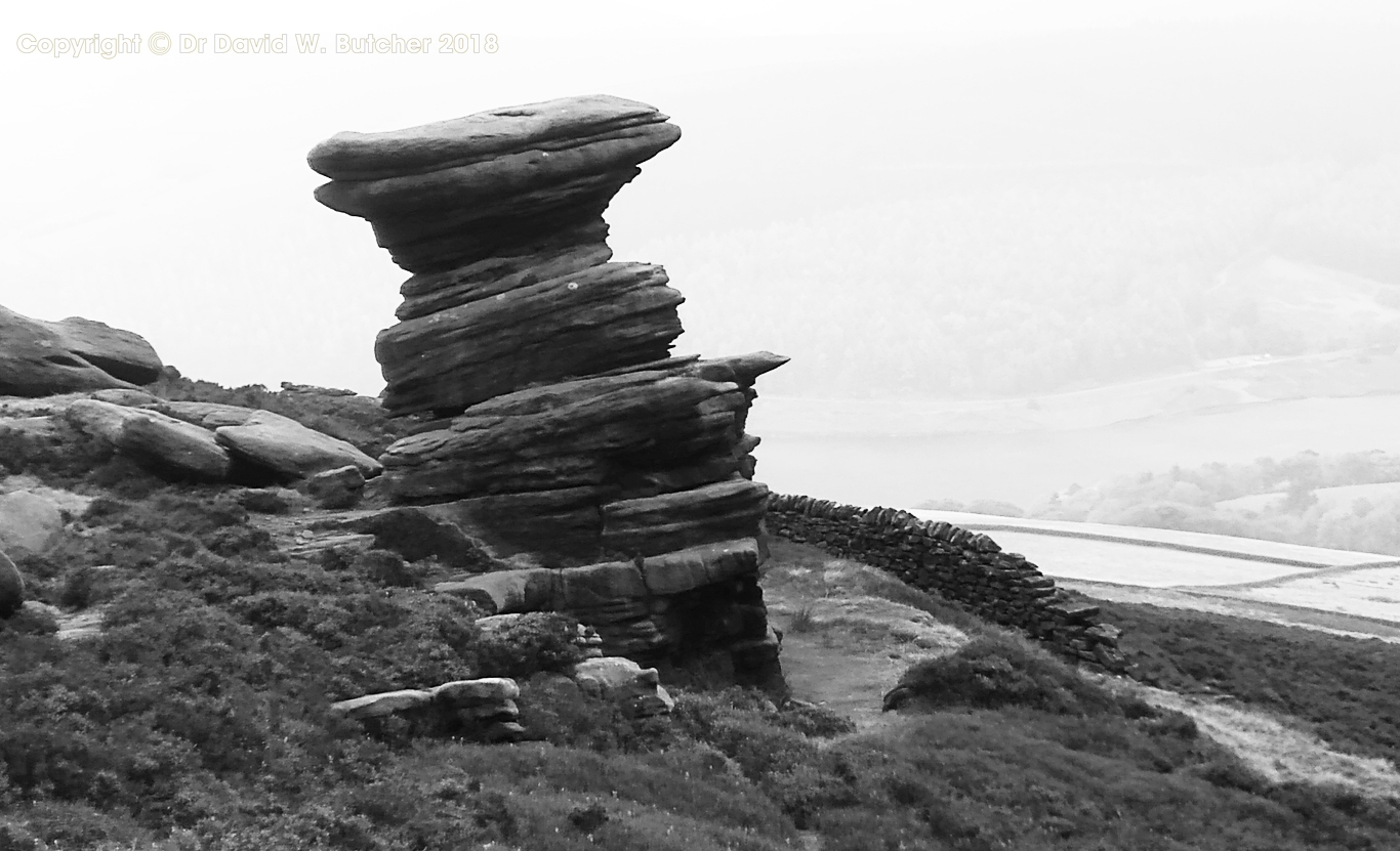
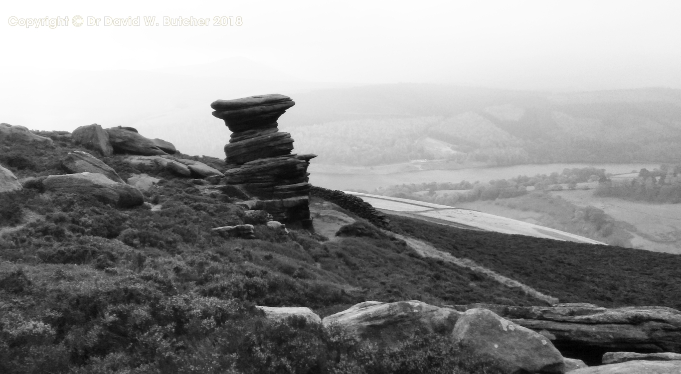
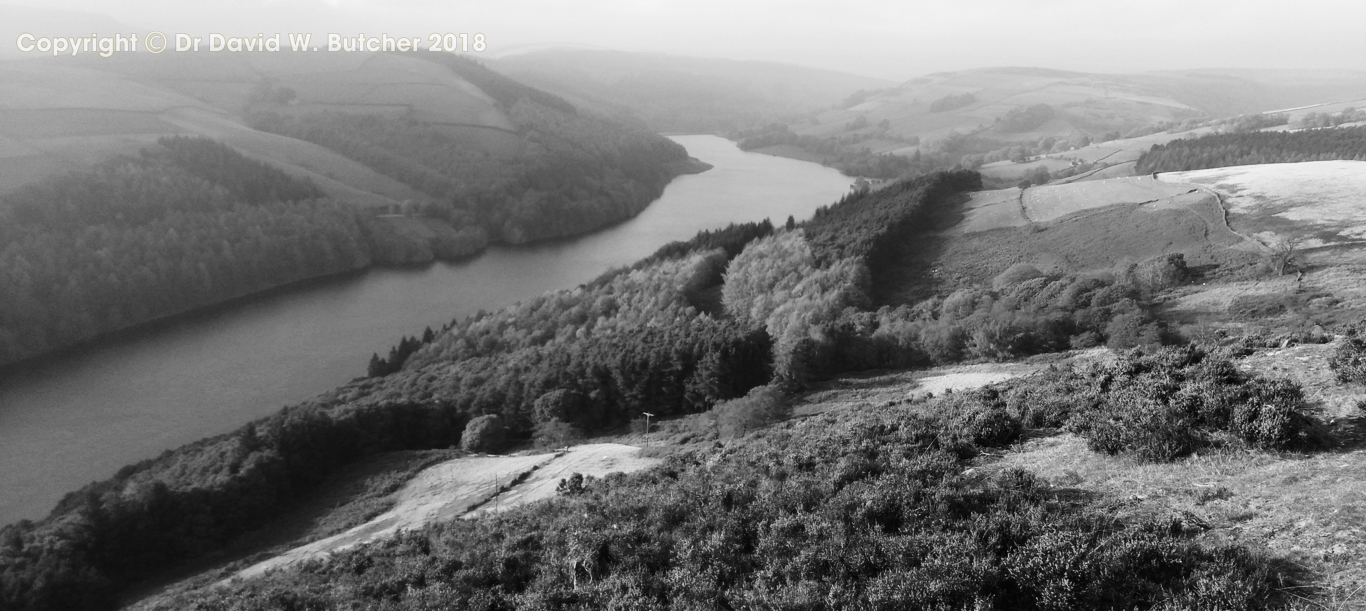
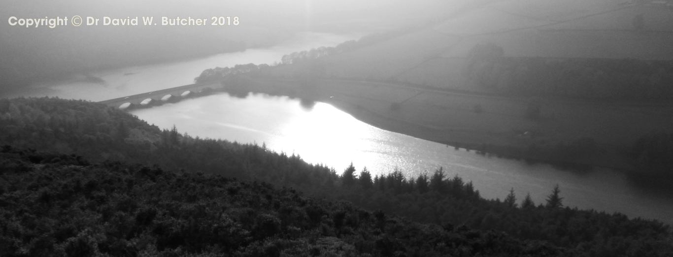
We left after a good breakfast and headed over the moors towards the 3 big Derwent reservoirs of Howden, Derwent and Ladybower. After leaving the A628 behind we followed a good track and Swinden Lane through some woods before heading uphill onto the moors of Mickleden Edge and on to Cut Gate. From here the tracks were less well defined as we made our way over Margery Hill and along Howden Edge. Then on to Derwent Edge over Lost Lad, back Tor, past the Cakes of Bread, Dovestone Tor and Salt Cellar (photo stop). From here it was an easy stroll along the edge over White Tor and Wheel Stones to Ladybower Tor and down to the Ladybower Inn, our end of day stop.
This was more familiar ground from here so I didn't really need the maps or GPS to get home, but I did have the GPS handy just in case of memory lapse!
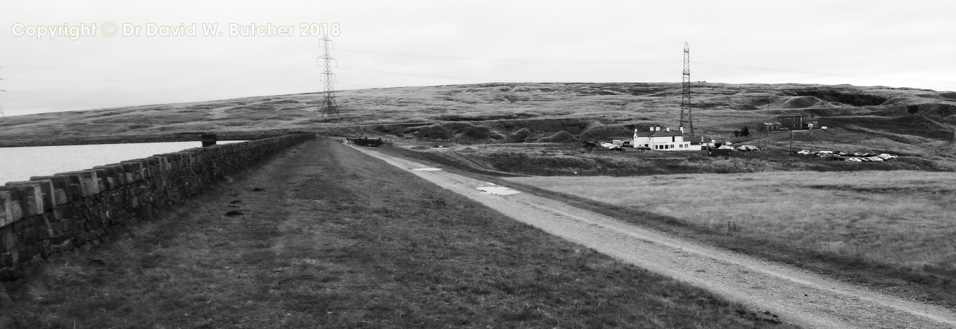
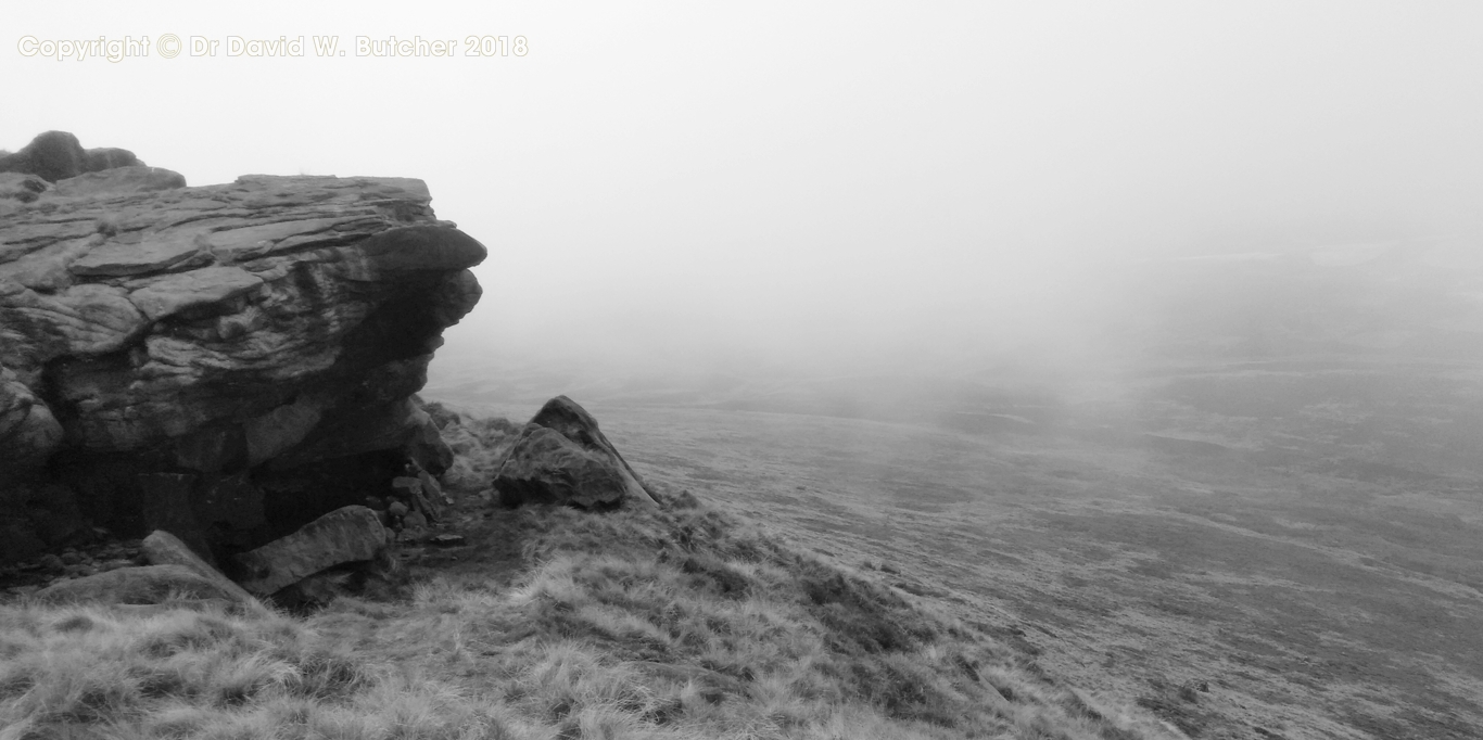
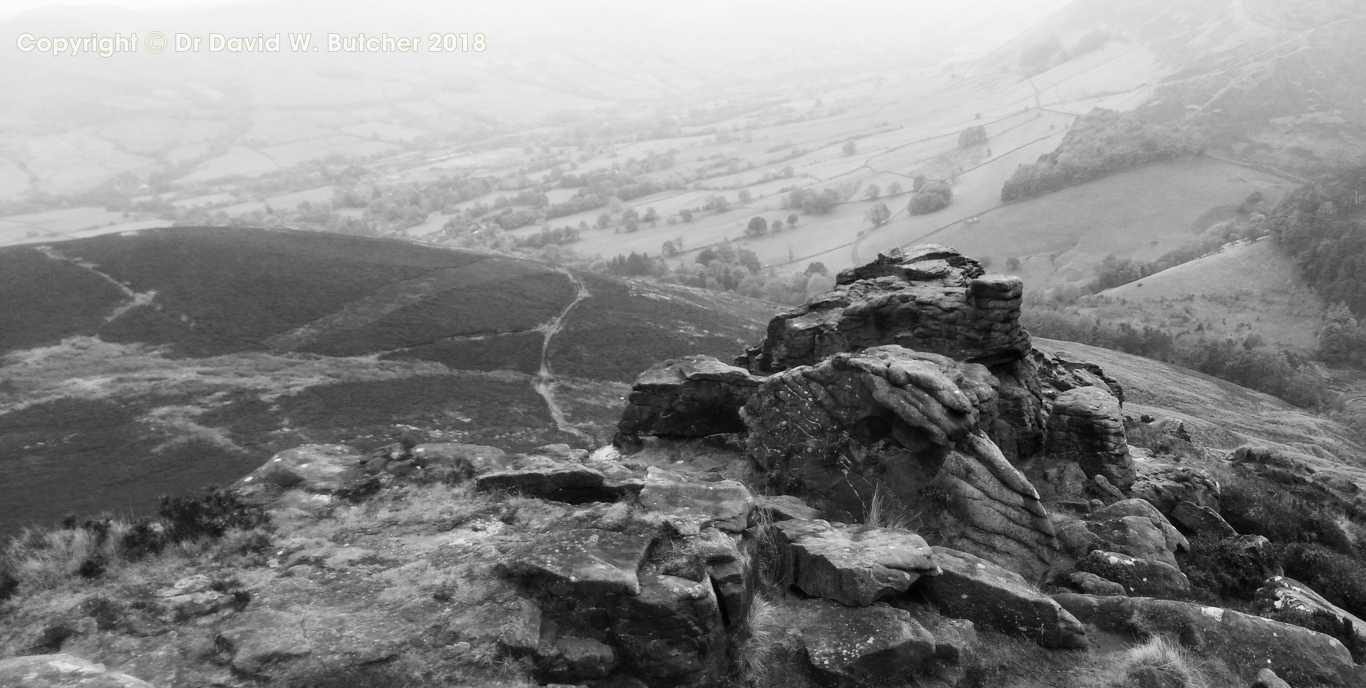
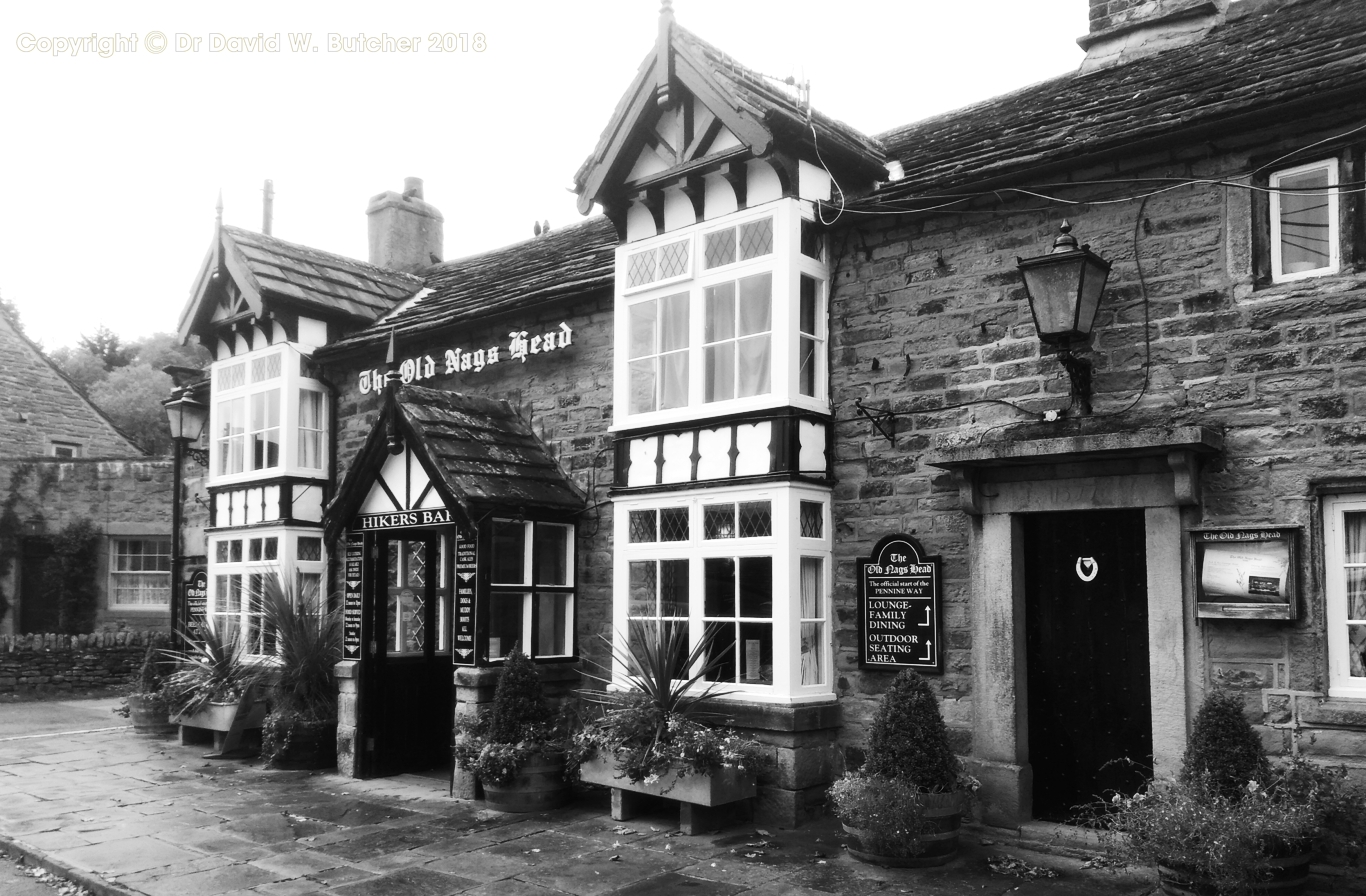
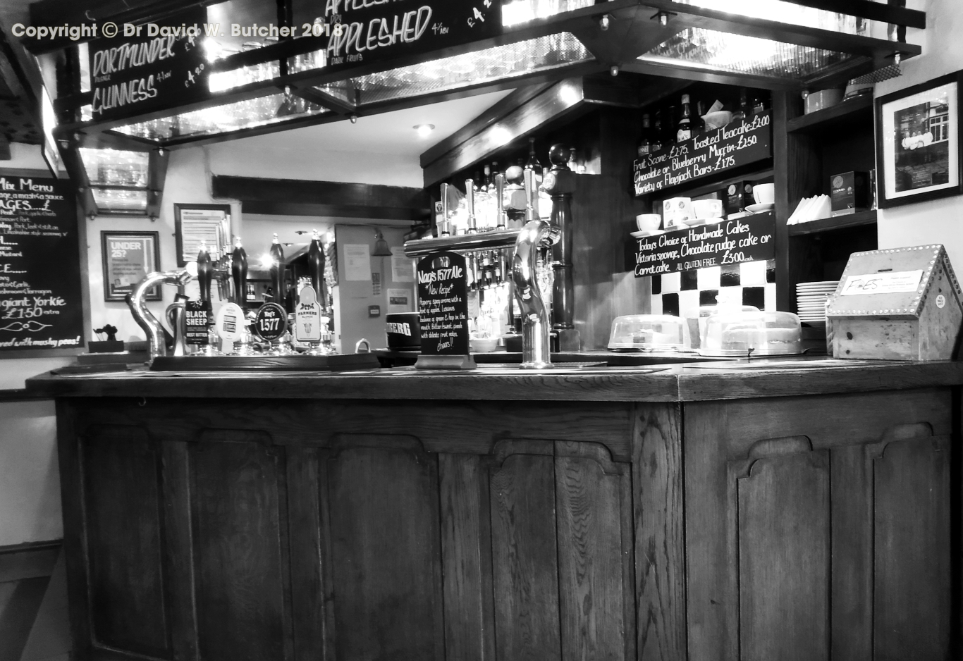
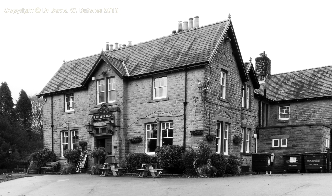
From the Ladybower Inn we walked along to the reservoir dam and crossed over and then we were quickly on the steep path up through the woods to Win Hill. Not a good day for photos of big views, the clouds were down on the tops. We followed the ridge to Crookstone Knoll and up on to Kinderscout where we followed the southern edge to Ringing Roger rocks. The clouds had lifted so we had misty views down into the Edale valley below. We soon found ourselves in the Nags Head in Edale where we stopped for refreshments before walking the last half mile, or so, to the Rambler Inn for the night.

Another dull day greeted us as we walked the last section of our trek home to Tunstead Milton. It was easy walking all of the way on good tracks and footpaths. From the end of Rushup Edge we picked up the Pennine Bridleway. After a few miles we headed off to Malcoff then to Bowden Head, Past Bowden Hall, across the A6 and into Chapel-en-le-Frith by the back door. In less than 2 miles we were home.
It was a good walk on mostly good tracks and paths. Only 2 day had mileages over 10 miles, the 3rd and 4th days and the 3rd day didn't seem too bad since we were able to have a break at Holmbridge. We were lucky to have so little rain in October but the days were mostly dull so there wouldn't have been many good shots if I had carried my big Mamiya 7 film camera. My bad back thanked me for not carrying too much!
No comments:
Post a Comment